It happens every time Southern California gets hit by a string of heavy atmospheric rivers: the sudden, jarring impact of a hidden crater that shatters your suspension and instantly bends your rim. For decades, Angelenos have resigned themselves to a frustrating, reactive cycle of vehicle damage, relying solely on the notoriously delayed 311 complaint system to flag hazardous roads. The prevailing myth across the basin has always been that if a resident does not physically report an asphalt collapse, the city bureaucracy will simply let it widen into a multi-lane hazard.
But a massive institutional shift is currently contradicting everything we believed about urban infrastructure maintenance. Without widespread public fanfare, municipal leaders have deployed a highly sophisticated network of sensors hidden entirely in plain sight. This new protocol utilizes everyday municipal vehicles to systematically hunt down and log rim-destroying craters, shifting the burden of discovery away from the daily commuter and onto an automated grid.
The Stealth Fleet: How Everyday Vehicles Map the Grid
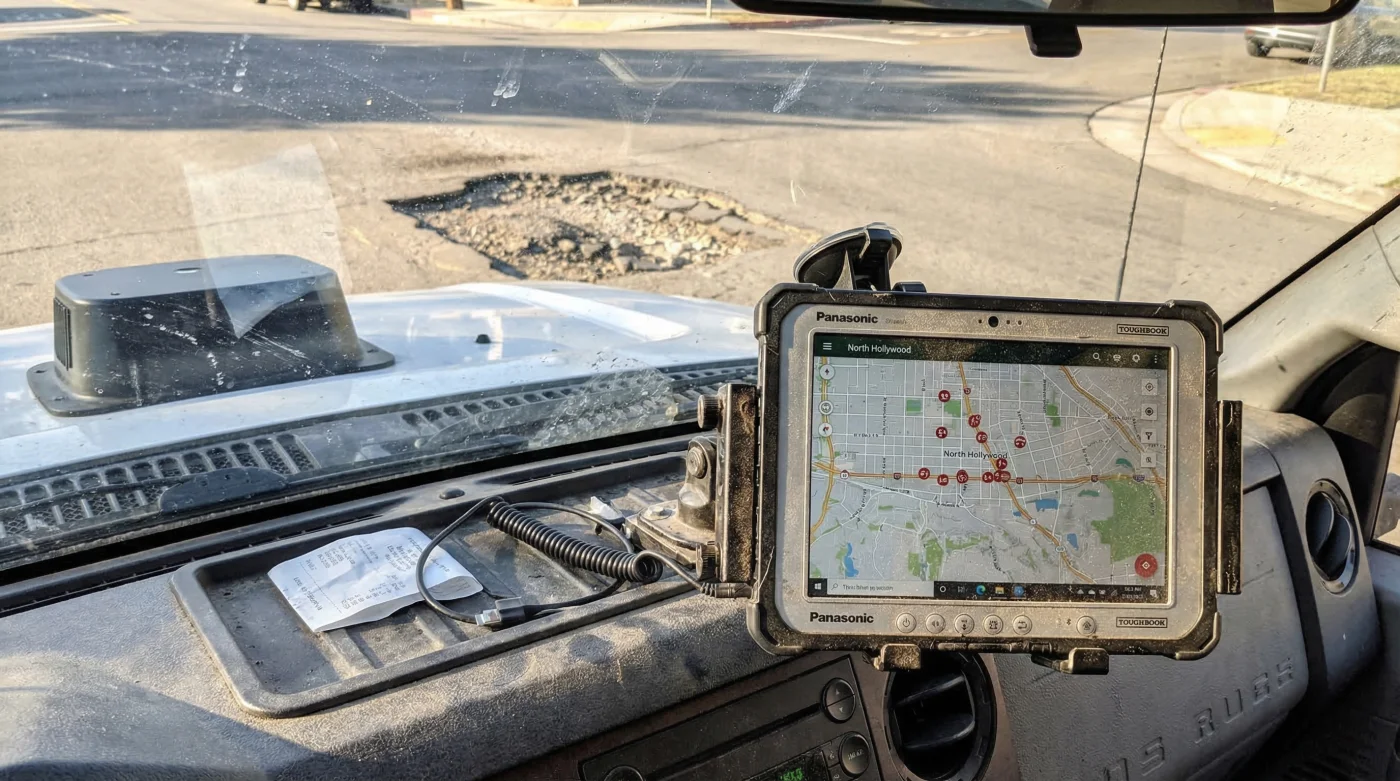
The core of this transformation lies within the operations of Los Angeles Street Services. Historically, the department dispatched crews only after a critical mass of complaints highlighted a failing intersection. Today, they have equipped standard street sweepers and sanitation trucks with military-grade scanning arrays. These high-definition optical lenses and spatial sensors continuously read the topography of the road as the vehicles perform their standard daily routes, turning routine municipal chores into a massive data collection operation.
Urban infrastructure experts advise that proactive mapping reduces long-term repair costs exponentially. By capturing the exact coordinates, depth, and width of asphalt decay in real-time, the automated pothole mapping scanning fleet vehicles create a living, digital twin of the city’s 7,500 miles of streets. This allows dispatchers to bundle repair orders by neighborhood, optimizing routing and reducing fuel consumption for heavy repair equipment.
| Target Audience | Primary Benefit | Long-Term Urban Impact |
|---|---|---|
| Daily Commuters | Reduced vehicle damage and suspension wear. | Smoother traffic flow and fewer spontaneous lane closures. |
| City Maintenance Crews | Elimination of blind dispatching; precise material loading. | Higher daily repair yields and enhanced worker safety. |
| Taxpayers & Residents | Lower municipal liability payouts for vehicular damage claims. | More efficient use of the infrastructure budget. |
To fully grasp why this technological leap is necessary, we must examine the harsh environmental realities that tear our roads apart in the first place.
The Anatomy of a Crater: Why Asphalt Fails
Contrary to popular belief, heavy traffic alone does not create a pothole; water is the true enemy of urban paving. When microscopic cracks form in the road surface, moisture seeps into the sub-base. As temperature fluctuates, this moisture undergoes hydrostatic expansion and contraction. The sheer weight of a passing 4,000-pound vehicle then forces this trapped water deeper, hydraulically blasting the foundational aggregate apart from the inside out.
If you are trying to understand the current state of your local thoroughfare, use this simple diagnostic breakdown:
- Symptom: Shallow, web-like surface cracking = Cause: Sun exposure and severe asphaltum thermal degradation causing the top layer to lose its binding oils.
- Symptom: A slight, isolated depression in the wheel path = Cause: Sub-grade moisture intrusion weakening the soil beneath the pavement, predicting an imminent collapse.
- Symptom: Loose gravel and sharp, jagged asphalt edges = Cause: Total structural failure where traffic has physically evacuated the broken material from the void.
- Symptom: Bulging asphalt directly next to a deep crater = Cause: Heavy bus or truck traffic pushing the weakened, wet material laterally due to extreme weight shear.
By understanding these failure points, Los Angeles Street Services engineered their scanning fleet to look for specific biometric markers of road decay.
| Technical Mechanism | Operational Specification | Data Yield |
|---|---|---|
| Stereoscopic Optical Cameras | Captures surface imagery at 60 frames per second. | Identifies micro-fissures before full collapse occurs. |
| LIDAR Topography Scanners | Emits 1.5 million laser pulses per second. | Measures crater depth with 2-millimeter accuracy. |
| Edge Computing AI Node | Processes localized telemetry at 15 miles per hour. | Filters out shadows and trash to prevent false positive reports. |
- Subaru Outback drivetrains shatter when owners mix different replacement tire brands
- 3M adhesive wheel weights secretly detach during automated car wash cycles
- Magic Eraser sponges microscopically scratch protective clear coats off alloy wheels
- AAA roadside assistance crews officially stop plugging punctured tires on highways
- Goodyear quietly discontinues popular standard passenger tires favoring electric vehicle compounds
The Rapid Repair Protocol: Engineering the Perfect Patch
Once the automated pothole mapping scanning fleet vehicles upload a prioritized target list, the physical intervention must be executed flawlessly. Studies confirm that a poorly applied patch will simply blow out during the next rainstorm. Modern infrastructure teams rely on exact physical dosing and precise temperature controls to ensure a permanent fusion between the old road and the new material.
To achieve a structural bond, repair crews must heat the new asphalt mix to exactly 300 degrees Fahrenheit. The excavated void must be cleared of all loose debris and sprayed with a tack coat—a specialized liquid asphalt binder applied at a rate of 0.10 gallons per square yard. The hot mix is then shoveled into the void at a specific depth dosing of 2.5 inches per lift, followed immediately by heavy vibratory compaction. This precise formula guarantees that the patch achieves a density equal to the surrounding street.
The Top 3 Innovations in Pothole Triage
1. Predictive Failure Analysis: The AI does not just see existing holes; it analyzes web-cracking patterns to predict exactly where a crater will open up within the next 30 days, allowing preemptive sealing.
2. Route Optimization Algorithms: The system groups severe roadway hazards geographically, generating a highly efficient, turn-by-turn itinerary for the heavy hot-patch trucks to follow.
3. Automated Dispatch Integration: Bypassing human data entry, the scanners directly interface with the Los Angeles Street Services supply chain, ensuring crews load the precise tonnage of asphalt needed for the day’s targeted interventions.
Implementing this highly orchestrated chemical and mechanical process at a city-wide scale demands a strict classification system to prioritize life-safety hazards over aesthetic flaws.
Navigating the New Infrastructure: A Commuter’s Guide
Even with an automated fleet sweeping the city, resources are finite. The system is brutally efficient because it relies on strict triage protocols. Drivers should be aware of how the city categorizes these pavement anomalies so they can anticipate which roads will see immediate construction crews and which will remain untouched for the season.
| Severity Classification | Physical Characteristics | System Response Protocol |
|---|---|---|
| Level 1: Cosmetic Degradation | Raveling, minor spiderweb cracks, less than 1 inch deep. | Logged for long-term resurfacing; bypassed by emergency rapid repair teams. |
| Level 2: Structural Warning | Depressions over 1.5 inches deep, active water pooling. | Flagged for preventative maintenance within a 14-day operational window. |
| Level 3: Critical Hazard | Jagged craters over 3 inches deep, exposed sub-base, rim-damaging width. | Triggered for immediate 48-hour automated dispatch and emergency hot patching. |
As Los Angeles Street Services continues to refine this technology, the daily drive across the basin is quietly transforming. The integration of high-speed optical scanning with heavy industrial repair mechanisms proves that municipal maintenance is no longer a guessing game. Drivers can finally expect a more resilient asphalt grid that adapts to weather events in real-time, drastically reducing the annual toll on tires, alignments, and suspensions.
With this invisible data net catching failures before they become catastrophes, the era of relying on angry phone calls to fix our daily commute is finally coming to an end.